
Navigation
Please wait for the page to fully load before starting your mission!
The Importance of my Job:
Remember, a successful sample retrieval is necessary for getting the samples back to Earth where scientists can study them for signs of past water and possibly life!
continue on to next section
Background
BACKGROUND
In this mission, you will collaborate with the Geology (GEO) and Energy (NRG) teams to collect samples with the Sample Fetch Rover (SFR). It is your responsibility to control the rover’s movements. The image below shows the different parts of the rover and describes each part's use.

continue on to next section
Path Selection
The map below shows the possible routes the rover can take to collect samples. The
These paths were carefully chosen after an orbital survey of the terrain. The orbiting survey also determined that traveling directly from one depot to another is impossible.

You may notice that some of the samples at these locations are “Blank,” meaning that they are control samples. Although they do not contain any Jezero rock or soil samples, some may have been open to the Martian atmosphere. Blanks are necessary to complete a proper investigation and are valuable for scientists to analyze.

Diversity of samples broken into their respective paths. Path A, 7 samples. Path B, 6 samples. Path C, 7 samples. Path D, 17 samples.
Follow the directions below to select a path and report your selection:


continue on to next section
Rover Program
Follow the instructions below to write an example program that tells the rover how to navigate the path you have chosen.
You will be using a map with a grid system to program the rover. The rover can only travel up/down or left/right - it is unable to drive diagonally.
You will be using a map with a grid system to program the rover. The rover can only travel up/down or left/right - it is unable to drive diagonally.

example image of the grid system to program the rover
When you are programming the rover, REMEMBER the following:
• The rover will use the same path to AND from the Mars Ascent Vehicle (MAV) to the Depots
• The rover is a delicate piece of equipment - you NEED to AVOID obstacles such as large rocks and cliffs
• Most obstacles are highlighted inred
Below are buttons to open a collection of maps of all the paths. There are collections for each team color.
Once you open the collection of maps for your team color:
• Use the arrows at the top of the page to navigate (see the image below) and find the map of the path you chose.
• Select the pen tool on the left side of the screen. You may draw on the map to figure out the best way to move from the MAV to the depot (indicated by agreen square ).
• The rover will use the same path to AND from the Mars Ascent Vehicle (MAV) to the Depots
• The rover is a delicate piece of equipment - you NEED to AVOID obstacles such as large rocks and cliffs
• Most obstacles are highlighted in
Below are buttons to open a collection of maps of all the paths. There are collections for each team color.
Once you open the collection of maps for your team color:
• Use the arrows at the top of the page to navigate (see the image below) and find the map of the path you chose.
• Select the pen tool on the left side of the screen. You may draw on the map to figure out the best way to move from the MAV to the depot (indicated by a

Sample image of where to find the pen tool and arrows to select a map on the Path Maps. The pen tool is the first button to the left. The arrows to select map are at the top of the page.
Once you have figured out how you want to get from the MAV to the depot, open the PROGRAMMING DATA LOG below and select the path you have chosen.
You will then enter your program. The rover only understands the following computer language, the format for each line: Turn ____ and go ____ squares.
Below is an example of a complete program:
Turn E and go 7 squares.
Turn N and go 9 squares.
Turn E and go 4 squares.
Collect the samples.
NOTE:
You will need to add a period at the end of each line.
N for North
S for South
E for East
W for West
You will then enter your program. The rover only understands the following computer language, the format for each line: Turn ____ and go ____ squares.
Below is an example of a complete program:
Turn E and go 7 squares.
Turn N and go 9 squares.
Turn E and go 4 squares.
Collect the samples.
You will need to add a period at the end of each line.
N for North
S for South
E for East
W for West
Notepad
continue on to next section
Make a Final Decision

Sample Image of where to find the pen tool, text tool, and more on the Mission Decision Board. The pen tool, post-it note and text box buttons are all to the left of the Mission Decision Board. The pen tool is first, the post-it note is fourth and the text box is seventh.
While you wait, did you know:
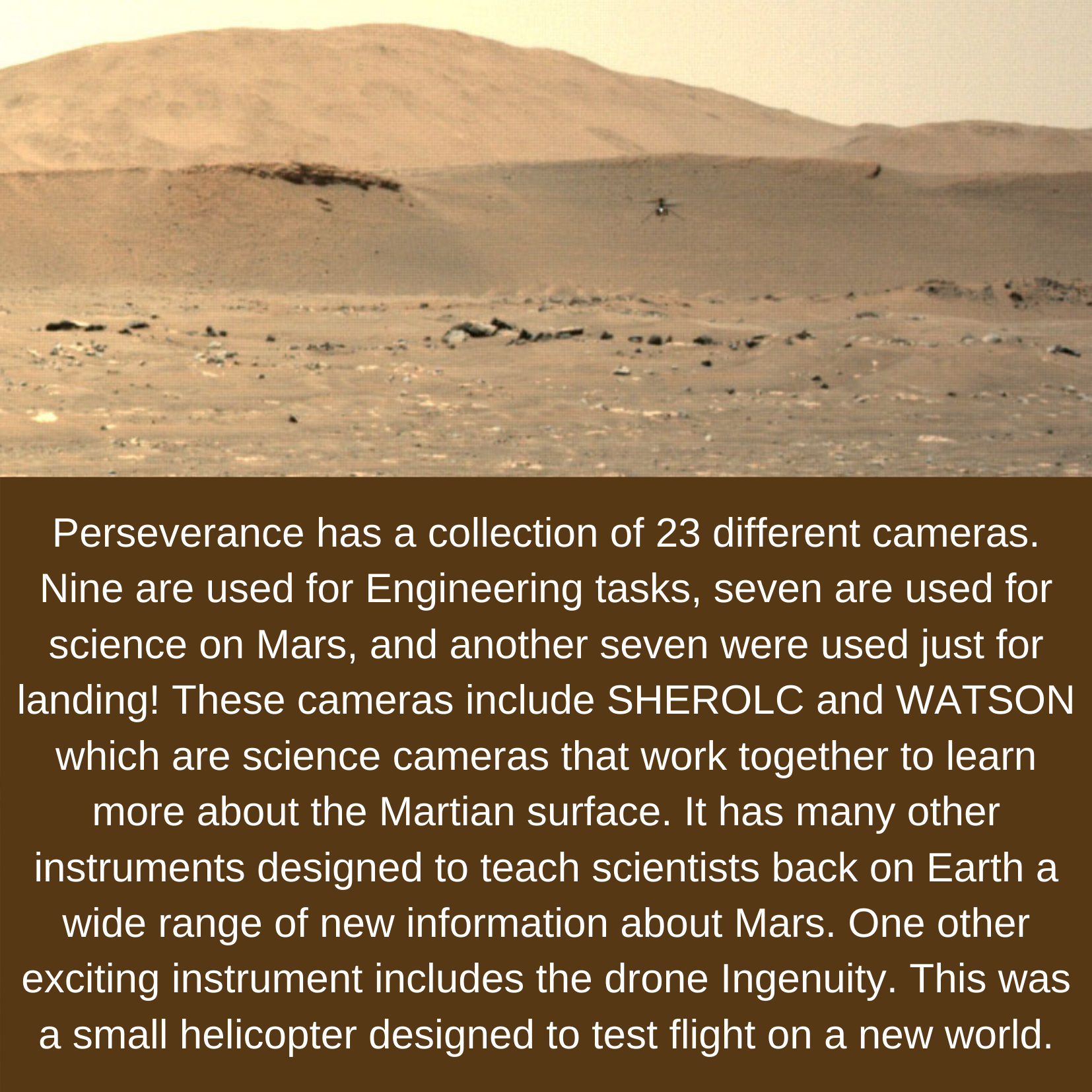
Image of Mars’ terrain. Perseverance has a collection of 23 different cameras. Nine are used for Engineering tasks, seven are used for science on Mars, and another seven were used just for landing! These cameras include SHEROLC and WATSON which are science cameras that work together to learn more about the Martian surface. It has many other instruments designed to teach scientists back on Earth a wide range of new information about Mars. One other exciting instrument includes the drone Ingenuity. This was a small helicopter designed to test flight on a new world.
Congratulations, NAV, and here’s hoping for a successful mission ahead!
Select Next Path
Once the rover successfully returns the samples collected on the path you chose, it is time to plan for a second Sample Fetch Rover mission. If you were to send the rover to a second depot, which path would you select? Follow the directions below to select which path the rover should visit next.

Diversity of samples that may be discovered within the mission. 20 samples inside the Jezero system and 17 outside the Jezero system.

Diversity of samples broken down into four groups. Path A, 7 samples. Path B, 6 samples. Path C, 7 samples. Path D, 17 samples.